
Last week, I had the opportunity to attend my third Esri Developer Summit in Palm Springs, Calif. This is Esri’s third largest conference on their calendar, hosting 1,800 GIS professionals and developers. This is also their tenth Developer Summit, and they continue to find new and interesting ways to grow the already strong GIS development community.
The Plenary
The Plenary presentation set a good tone for the week. It was a nice mix of Esri’s technical and strategic vision, leading up to their annual User Conference in July.
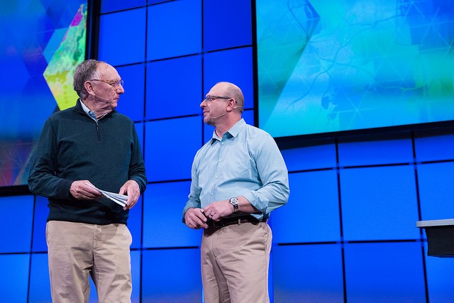
Above: Jack Dangermond (Esri Founder and President) and Jim McKenny (ArcGIS Program Manager) say hello.
We got some fancy tech presentations and a nice visit from will.i.am via Skype to discuss some of the efforts he and Esri are working on to bring STEM programs to the youth of underserved communities with his i.am.angel foundation.

Above: will.i.am via a reliably unreliable Skype connection
The other standouts were advancements in Python, more mature web APIs and vector map tiles caching. The JavaScript API will be adding a geometry engine in the coming months, establishing client-side geospatial processing like layer buffering, clipping and on-the-fly calculations. In ArcGIS version 10.3.1, we will have the ability to choose which version of Python to install and to run R scripts within ArcGIS. We’ll also have access to SciPy, Pandas and netcdf4python.
Oh yeah … and this sweet little gem allowing you to view Satellite locations.
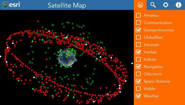
Above: The Esri Satellite Map.
The Keynote
The keynote speaker this year was John Tomizuka, Co-Founder and CTO of Taqtile, a leading mobile app development group.
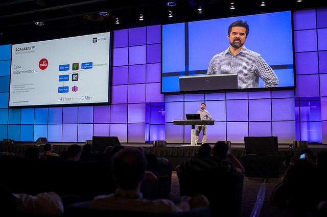
Above: John helping save development teams heartache and time.
John stressed the importance of giving the design phase of a project its due time. He’s a big fan of extensive wire framing and once spent 1.5 years in the design phase of one of their major projects. His talk was an open and honest look into the development process within his organization, and he openly discussed a few of their most challenging and successful projects. The guiding principle throughout the presentation encouraged attendees to find the right tool for the job. He covered a few of his team’s favorite tools and provided a nice list of what’s helped them get out of some sticky situations:
- Blazemeter – Load testing and performance
- AppFigures – App tracking platform that grabs lots of useful info
- Heroku – App building tool that supports Ruby, Node.js, Python, Java and PHP
- Happy Fox – Customer support tool
- Apptentive – Native in-app survey, rating, review and message toolkit
Sessions of Interest
Python: Working with Scientific Data
This was a great presentation with lots of Python links. Python has come a long way since it’s coupling with ArcGIS in 2004 at version 9. This session highlighted the integration and functionality of scientific data being consumed in ArcGIS.
Python is a big part of the GIS community and, as of last year, has become the most taught first programming language in U.S. universities. In the coming months, we will see SciPy and R integration within the ArcGIS.
Integrating Open Source Statistical Packages with ArcGIS.
This session showed R models being directly consumed in ArcGIS Pro via JavaScript API geoprocessing tools. The R integration will allow native GIS access to vector data, opening up a wide variety of commercial applications.
Administering Your ArcGIS Portal.
Esri first introduced its ArcGIS Online “Portal” offering in 2010, giving users the ability to publish and share geographic information. Functionality and security have advanced significantly since its inception.
A few improvements of note are:
- The ability to manage group membership using enterprise identity store
- The ability to stream live data into your portal
- The ability to use a forward proxy server (DMZ/screened subnets).
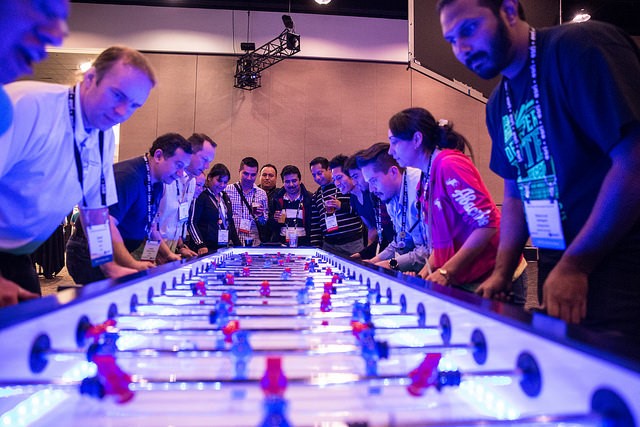
The sessions were great, but another tremendous benefit of attending the Dev Summit is the ability to interact with Esri team members. Esri brought 300 of its development, professional services and management teams this year.
Above:Esri meet-the-team engagement area (Developer Petting Zoo)
Dodgeball Party
The final night of the Dev Summit is reserved for the party. The crowd is a great mix of developers and GIS professionals, which makes it amazing.
Above: Why didn’t anyone tell me that this was a thing?
The main attraction of the party is the 32-team dodgeball tournament. This was my third year in competition, and I couldn’t be more proud of my team. We dodged, ducked, dipped and dived our way past three teams but got knocked out of the semifinals.
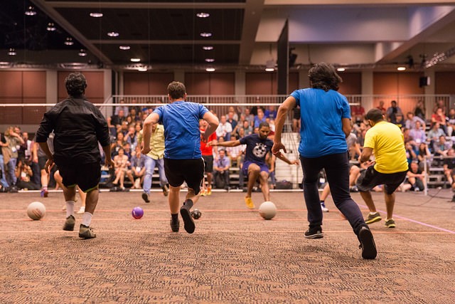
Above: The dodgeball tournament.
What to Expect from Esri in 2015
It appears that they have done a great job of unifying the ArcGIS platform. In most cases, you can now seamlessly develop GIS solutions via their web APIs or easy-to-use pre-configured webmap templates that will work on almost all devices and browsers.
ArcGIS Pro appears to be gaining some traction within with an emphasis on providing the GIS community with more precise UI/UX design tools. The majority of the Python library updates will first be rolled into ArcGIS Pro then throughout the rest of the ArcGIS Desktop platform (its days appear to be numbered).
This event typically sets the stage for the Esri User Conference every July. The User Conference is their largest event of the year and draws 15,000 attendees to the San Diego Convention Center. I think we’ll see more advancements in 3D and indoor mapping, and we’ll also likely see a more robust interaction between GIS and big data.